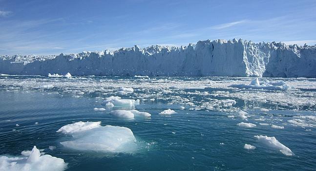
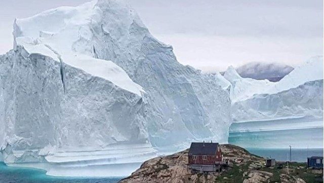
The United Kingdom’s Polar Observation and Modeling Center (CPOM) confirmed alarming data about the melting in Greenland. They reported the first measurements of the thickness change of the ice sheet in the country.
Scientists used data from the CryoSat satellites of the European Space Agency (ESA) and ICESat-2 from NASA, both specialized in the study of the evolution of polar ice.
The melting in Greenland now equals Lake Victoria
The satellites use different technologies to collect their data. CryoSat operates with a radar system to measure the height of the land surface, while ICESat-2 uses a laser system for the same task.
 Concern about the melting in Greenland.[/caption>
According to the study, Greenland’s ice sheet lost a total of 2,347 cubic kilometers over the 13 years analyzed. This amount of water is equivalent to the volume stored in Lake Victoria, in Africa, one of the largest freshwater bodies in the world.
The greatest losses were recorded in 2012 and 2019, years marked by extreme melting that reduced the ice sheet by more than 400 cubic kilometers.
During the studied period, Greenland’s ice sheet decreased on average by 1.2 meters. The areas with the greatest thinning were Sermeq Kujalleq in the west-center, with a maximum loss of 67 meters, and Zachariae Isstrøm in the northeast, where it reached 75 meters.
The impact of melting on the environment
Greenland’s melting not only significantly contributes to rising sea levels, a growing problem, but also impacts global ocean circulation and alters weather patterns, with far-reaching consequences for ecosystems and communities worldwide.
Nitin Ravinder, lead author of the study and researcher at CPOM, highlighted the relevance of the data obtained by the satellites, which proved to be complementary.
 Why Greenland’s ice sheet is decreasing.
“The ice sheet mass loss is one of the main factors contributing to sea level rise. Having these measurements is crucial for the scientific community and policymakers,” he stated.
The research, published in Geophysical Research Letters, confirms that the combination of both satellites allows for more precise estimates of ice loss than either could offer separately. Moreover, it ensures that if one mission were to fail, the other could maintain the record of the change in polar ice.
Have you visited our YouTube channel yet? Subscribe now!

