The north of the Buenos Aires province is on alert due to meteorological projections anticipating the arrival of a Super Niño.
The mayor of Zárate, Lisandro Matzkin, warned in a conversation with the portal Corré la Voz about a possible historic rise of the Paraná River, with levels not seen for more than 30 years.
The municipality is already working on a prevention plan together with security and armed forces to coordinate assistance and evacuation operations. The magnitude of the phenomenon is concerning due to the mass of water that could move through the Paraná River basin, forcing drastic measures to preserve life.
Historical Comparisons
Experts like Rodrigo Rodríguez Tornquist point out that this episode is more pronounced than those of 1997 or 2015, resembling only the one that occurred in 1877-1878.
While a traditional El Niño anomaly ranges between 2 and 3 degrees above normal temperature, current models report areas with anomalies between 5 and 7 degrees, a scenario described as “forceful” and “challenging.”
Uncertainty and Scientific Consensus
Although more than 30 models confirm the phenomenon, it is still unclear where it will hit with the greatest intensity. Water resources engineer Hugo Rorman explained that only by July or August will there be a definition of which areas will suffer the heaviest rains: the humid pampas, the Argentine coast, or the basins in Brazil and Paraguay.
Despite the uncertainty, the statistics are clear: 90% of these phenomena result in large precipitations or extraordinary rises of the Paraná. It is estimated that the peak impact will be felt between October and February, forcing a review of drainage systems, channels, and pumping stations.
International Warnings
The NOAA (National Oceanic and Atmospheric Administration of the U.S.) warned that El Niño could become one of the most intense events recorded. The probability of it reaching the “very strong” category increased from 63% to 81% for the period from October to December.
This phenomenon is characterized by an increase in temperatures in the equatorial Pacific, which must exceed the average by 0.5°C for several months. NOAA is also monitoring atmospheric patterns that confirm its presence.
Expected Impacts
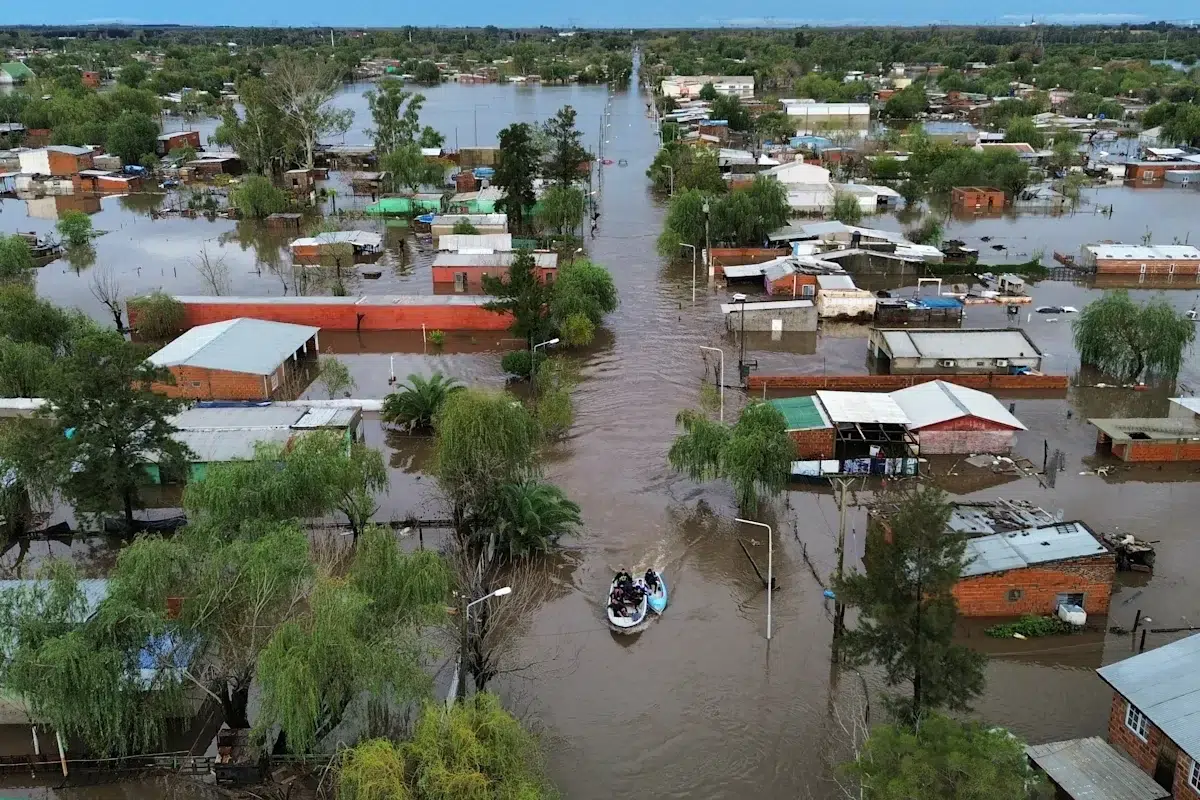
Historically, strong El Niño events increase rainfall in the Plata Basin. The most affected provinces could be Entre Ríos, Santa Fe, eastern Córdoba, and northern Buenos Aires, as well as Uruguay, Paraguay, and southern Brazil.
The rains would appear as intense storms and river rises during spring and summer. Although they could benefit summer crops after years of water deficit, they would also bring risks:
- Urban and rural flooding.
- Logistical complications.
- Productive losses.
Past events show that a single episode can have positive effects in some agricultural regions and significant damage in others, especially in the Pampas region.
Additional Risks
One of the greatest risks is the impact on the Paraná and Uruguay river basins, where rains in southern Brazil could increase flows and cause seasonal rises until March or April, even after El Niño begins to weaken.
NOAA also warned that this episode is developing in a context of record ocean temperatures, which could intensify extreme phenomena such as heatwaves and severe storms.
The “Super Niño” 2026 poses a historic challenge for the region. The specialists’ recommendation is clear: do not be paralyzed by fear, but prepare with prevention measures and inter-institutional coordination.
The magnitude of the phenomenon could redefine the climatic records of the province and mark a before and after in water risk management in the country.