
The artificial intelligence has ceased to be a tool associated solely with automation to become a key resource in urban management and environmental safety. In Argentina, public agencies and companies are already applying geospatial systems with AI to detect risks, monitor critical infrastructure, and improve emergency response.
During the Usuarios Aeroterra conference held in Buenos Aires, more than 1000 public and private sector leaders shared experiences on the use of these technologies, highlighting their impact on forest fire prevention and the management of essential services.
How geospatial technology works
Geographic Information Systems (GIS) integrate:
- Satellite images.
- Historical records.
- Sensors installed in the field.
- Climatic information.
Combined with AI, they allow identifying patterns and issuing real-time automatic alerts.
Concrete applications
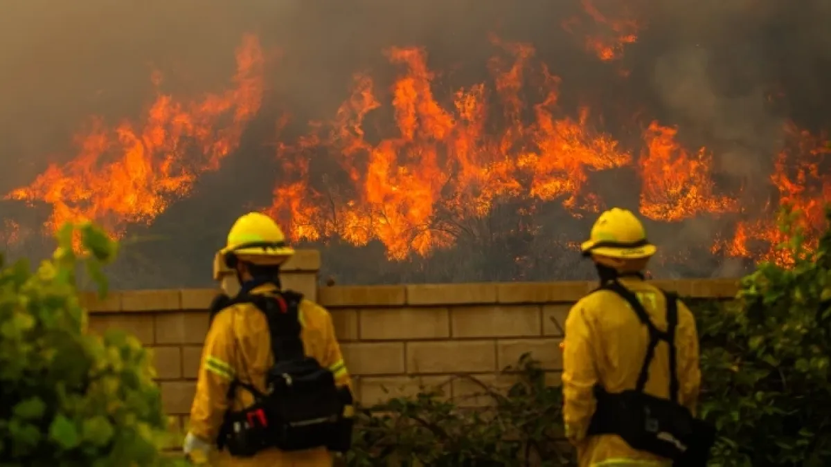
- Early detection of fires: by crossing variables such as temperature, humidity, wind, and environmental history, risk areas are modeled and the spread of outbreaks is anticipated.
- Monitoring of critical infrastructure: water, gas, and electricity networks can be supervised to detect failures before they become emergencies.
- Urban management: municipalities use these tools to create crime maps, organize transportation, and plan works.
Key impact areas
AI applied to disaster management offers strategic benefits:
- Prediction and early warning: machine learning models anticipate droughts, floods, or fires with greater precision than traditional systems.
- Biodiversity monitoring: automated analysis of images and acoustic sensors to track illegal deforestation or climate change impacts.
- Disaster management: optimization of evacuation routes, resource coordination, and immediate damage assessment using drones.
- Emission reduction: optimization of energy consumption in smart grids and efficiency in transportation and agriculture.
Climate change and the need for quick responses
The progress occurs in a context of increasingly frequent extreme events. The difference between acting in time or arriving late can translate into economic losses, environmental damage, or risk to the population.
Marco Viola, vice president of Aeroterra, noted: “Today geospatial technology is present in processes that most people do not see, but that affect their daily lives”.
Circular economy and resilience
AI not only anticipates emergencies, it also contributes to the circular economy by reducing waste and optimizing resources. In sectors such as agriculture, it allows adjusting irrigation and the use of fertilizers; in energy, it improves the efficiency of smart electrical grids.
Artificial intelligence applied to fire and disaster prevention represents a paradigm shift: from late reaction to proactive anticipation.
Its ability to process massive data in real-time makes AI an indispensable tool to face the challenges of climate change and protect both communities and ecosystems.