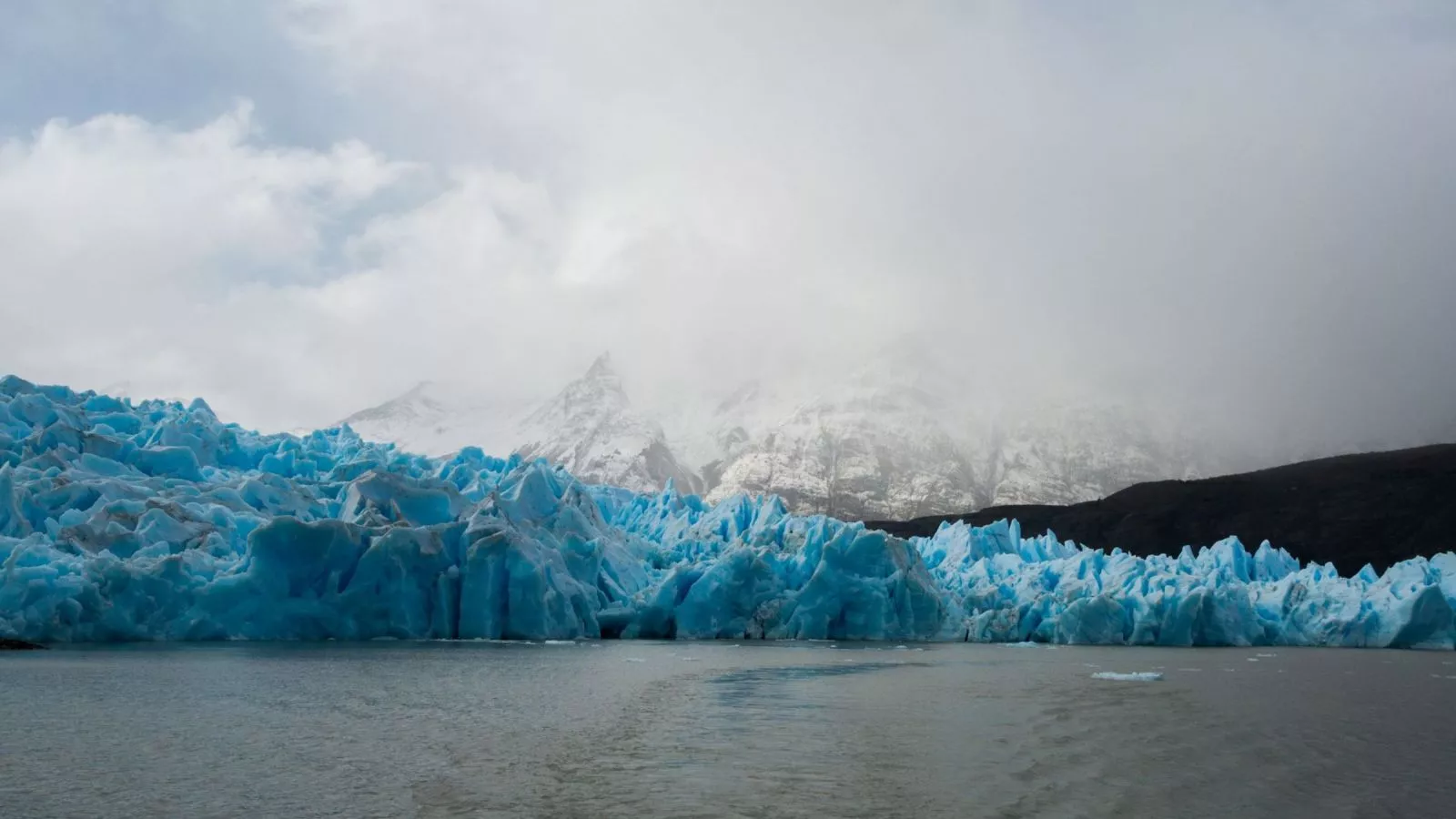
A study by MapBiomas Agua-Chile revealed that between 1998 and 2025 the country lost 344 thousand hectares of glaciers, equivalent to 21 times the surface of Rapa Nui. The most affected region was Ñuble, which lost 91% of its glacier surface.
Chile concentrates about 80% of the Andean glaciers, so their retreat directly impacts the availability of fresh water, especially in the context of the megadrought affecting the country.
Importance of Glaciers
Specialist Alexis Segovia from the University of Chile explained: “Glaciers are tremendously relevant because they provide a continuous flow of water to the basins, especially in summer and drought periods, which is when we need water the most”.
In addition to supplying water for domestic and industrial consumption, glaciers are a tourist attraction and part of the identity of mountain communities. Their retreat threatens both water security and the cultural and economic relationship with these ecosystems.
Regional Dynamics
The study identified different behaviors throughout the country:
- Northern and southern macrozones: gradual retreat, although the largest reserves are concentrated there, such as the Northern and Southern Ice Fields.
- Central zone and Ñuble: much greater proportional losses since the mid-2010s.
- Pío XI Glacier: exceptional case, as it has steadily advanced at its fronts, in contrast to the general trend.
Most Affected Regions
- Magallanes: largest absolute loss, with 1,000 km² of ice in 28 years.
- Metropolitan: retreat of 48% of its glacier surface.
- Center (Valparaíso to Maule): highest proportional retreat, with 50.19% loss since 1998.
Surface Water in Retreat
The report also detected losses in surface waters. Chile has 1,228,652 hectares of water, about 14 times the surface of Lake Llanquihue. However, since the beginning of the megadrought, almost 40 thousand hectares have been lost.
The largest concentration of water is in the south:
- Southern macrozone: 60% of the total.
- Southern macrozone: 35%. Together, both concentrate 95% of the country’s surface water.
Valeria Castro, a member of the technical team of MapBiomas Chile, noted: “These bodies of water are sensitive indicators of drought, floods, and even land use changes. Their monitoring allows us to assess water security and detect environmental alterations early”.
The loss of glaciers and surface waters in Chile reflects the impact of the climate crisis and the megadrought on ecosystems. The retreat of these ice bodies compromises water security, biodiversity, and human activities that depend on them.
The challenge is to strengthen monitoring and conservation policies to ensure water and resilience in the face of climate change.