The province of Santa Fe has developed and made public its first map of wildlife roadkill, with the main critical spots.
This is a pioneering tool that positions the province as one of the first to develop a comprehensive strategy to protect biodiversity and improve road safety.
This innovative work combines scientific evidence, citizen science records, and state planning. The goal is to preserve wildlife, reduce accidents on roads, and strengthen ecological connectivity throughout the Santa Fe territory.
Wildlife roadkill map: identification of critical spots and concrete actions
The Minister of Environment and Climate Change, Enrique Estévez, emphasized the importance of this initiative. “Taking care of biodiversity in times of climate crisis is not only a symbolic act, but an urgent action that we must take responsibly,” he said.
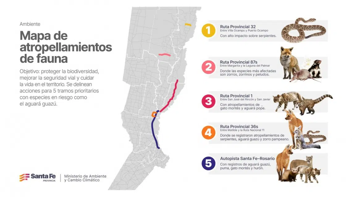 The roadkill map presented by Santa Fe. (Photo: Provincial Government).[/caption>
He also stressed that “protecting life and ecosystems requires coordinated and self-organized work, incorporating the environmental perspective into the province’s public policies.”
The map, a result of joint analysis between the Ministry of Environment and Climate Change, public universities such as National University of the Litoral (UNL) and National University of Rosario (UNR), CONICET, and citizen science platforms.
This is the case of the Argentine Network for Monitoring Roadkill Wildlife, a work that allowed the location of 11 sections on Santa Fe’s roads considered critical for wildlife.
Among these, they prioritized, as indicated, five due to their high level of risk and frequent roadkill of vulnerable species such as snakes, maned wolf, foxes, and pumas.
The prioritized spots include:
- Provincial Route 36 s, between Matilde and National Route 11, with roadkills of snakes, maned wolf, and Pampas fox.
- Provincial Route 32, between Villa Ocampo and Puerto Ocampo, mainly affecting snakes.
- Provincial Route 87 s, between Margarita and Laguna del Palmar, impacting foxes, skunks, and hairy armadillos.
- Santa Fe-Rosario Highway, with records of maned wolf, puma, Geoffroy’s cat, and ferret.
- Provincial Route 1, between San José del Rincón and San Javier, with roadkills of montane foxes, Geoffroy’s cat, and maned wolf.
To mitigate these impacts, specific measures are already being implemented in these sections, such as specific road signage, wildlife crossings, strategic fences, and environmental awareness campaigns.
These actions aim to reduce roadkills, protect wildlife species, and maintain the connectivity of ecological corridors. They are essential for ecosystem balance and wildlife movement.
How the map was created
The development of the map was made possible thanks to two working meetings held in 2024 and 2025, as specified.
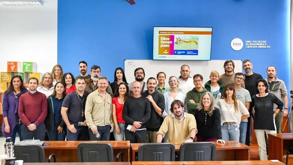 The map presentation. (Photo: Santa Fe Government).
In these sessions, the magnitude of the problem was analyzed, data was shared, and a common agenda was outlined to address the issue.
The joint initiative allowed for the consolidation of interdisciplinary work and the presentation of the first map of critical spots. The strategy reflects the province’s commitment to strengthening the protection of biodiversity and promoting integrated actions in this regard.
