
The sea level in Argentina is experiencing an accelerated rise in recent decades, alerting the scientific community.
According to a new study based on more than a century of records, the rise in sea level along the Argentine coast has doubled its speed since 1965.
The research revealed that the rate of increase went from 1.22 millimeters per year in the period 1905-1964 to 2.38 millimeters annually between 1965 and 2023 in Buenos Aires.
The work was carried out by researchers from the Naval Hydrography Service and the universities of Buenos Aires (UBA) and La Plata (UNLP).
Subsequently, the results were published in the scientific journal Continental Shelf Research.
“Historical records show that in Buenos Aires and Puerto Quequén the speed of that sea level rise almost doubled, when comparing the period 1965-2023 with 1905-1964,” explained Fernando Oreiro, the study’s first author.
More than a hundred years of data to measure historical sea level
The scientific team analyzed hourly data collected by tide gauges, instruments that measure the height of the sea relative to a fixed point on land, for their research.
The research covered 12 key points of the Argentine coast and processed information from more than a century.
To reach this conclusion, the researchers calculated monthly and annual averages to observe trends and eliminate seasonal effects.
Then, they applied quality controls and cross-validations between instruments and locations to ensure the accuracy of the results.
It should be noted that the sea level does not rise uniformly along the entire coast, something the specialists considered.
In Argentina, the values range from 0.79 millimeters per year to 3.84 millimeters per year depending on the region analyzed.
Marked regional differences
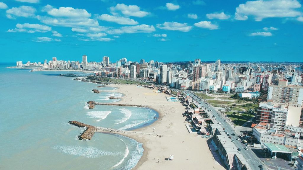
In Buenos Aires, the trend since 1905 reached 1.70 millimeters per year. In Mar del Plata, since 1961, the figure reached 2.25 millimeters annually.
The southern regions, such as Ushuaia and Puerto Argentino, showed lower values. However, recent data also indicated a clearer increase than in the past.
“The analyzed regions are influenced by differentiated local dynamics,” the scientists noted.
This is because factors such as the mouth of rivers, storms, and marine currents influence the behavior of the sea in each sector.

What this means for Argentine beaches and ports
The average sea level is one of the clearest indicators of global climate change.
When it rises, it reveals that the oceans are expanding and that the ice in different parts of the world is melting.
Therefore, measuring it is key because it allows anticipating risks for cities, port activities, and beaches.
“The findings confirm a sustained upward trend in the sea level along the Argentine coast and provide critical information for the management of coastal risks,” the researchers stated in this regard.
Following the study, the team recommended maintaining and expanding the network of tide gauges, adding land measurements, and promoting institutional collaboration.
“Data series are necessary to understand the behavior of the average sea level on a smaller scale, due to the influence of local factors,” noted Oreiro.
Thus, the research offers a solid scientific basis for authorities and communities to make informed decisions in the face of the advancing sea.