
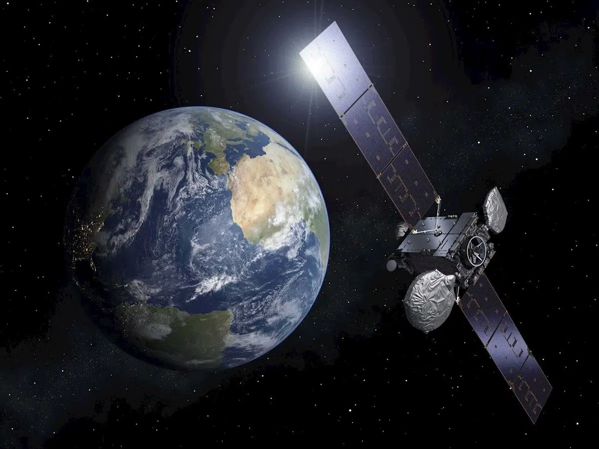
Spain and Portugal have joined forces to create the Atlantic Constellation, a set of 16 small satellites (eight per country) that will orbit less than 700 km from Earth. Their main mission will be to monitor natural disasters in real-time, such as floods, forest fires, or maritime storms.
Currently, the European satellites Copernicus/Sentinel generate images of the Iberian Peninsula every two or three days. The new constellation will reduce that interval to two or three hours, allowing for quicker and more effective action in emergencies.
Recent examples of need
The peninsula has suffered extreme phenomena in recent years such as:
- The storm train at the beginning of 2026.
- The DANA that devastated Valencia.
In these cases, having information almost in real-time would have been crucial to assess the impact and coordinate solutions on the ground.
Technology and applications
Each satellite will have four main instruments:
- High-resolution multispectral optical cameras to analyze vegetation and terrain.
- GNSS reflectometry sensors to measure soil moisture and sea state.
- IoT connectivity to link data with ground systems.
- Vessel tracking system for maritime safety.
In addition to emergencies, the constellation will have applications in sectors such as agriculture, allowing for more precise monitoring of crops and water resources.
Participation of companies and organizations
- In Spain, the Catalan company Open Cosmos will design and manufacture the eight satellites.
- The ICE-CSIC will develop one of the four payloads and the algorithms for extracting geophysical data.
- In Portugal, the project will be led by GeoSat.
- The ESA (European Space Agency) will oversee the entire process.
The first demonstration satellite, called Pathfinder, will be ready by the end of this year and will be launched in the first half of 2027. It will serve to validate the technologies before manufacturing the rest of the units. The full deployment will take place in the following years.
Strategic autonomy and international relevance
According to Nicolás Martín, Director of Users, Services, and Applications of the Spanish Space Agency, this project is “very relevant for the Spanish aerospace sector and for our strategic autonomy.” The constellation will not replace the European Sentinels but will complement them, enhancing the Iberian Peninsula’s response capacity in emergencies.
The Atlantic Constellation represents a qualitative leap in the management of natural disasters on the Iberian Peninsula. Moving from images every several days to information every few hours will save lives, protect ecosystems, and improve response planning. Additionally, it consolidates cooperation between Spain and Portugal in the aerospace field and opens new opportunities in sectors such as agriculture and maritime safety.