
The El Niño phenomenon will return this summer to the Pacific Ocean, scientists have anticipated. This will bring with it the possibility of extreme rains, intense storms, and droughts in various parts of the planet.
However, the intensity of the phenomenon still generates uncertainty among experts.
What is El Niño and how this phenomenon forms
El Niño is a warm water current in the central and eastern Pacific along the Equator that occurs when the trade winds change.
Normally, these winds keep the ocean water warmer contained towards the western Pacific, but changes in the wind patterns allow the warm water mass to move eastward, towards the coast of South America.
El Niño phenomena arise approximately every three to seven years and usually last between nine and 12 months.
The last El Niño phenomenon, in 2022 and 2023, was one of the main drivers of record global temperatures. The atmosphere absorbed heat from the ocean during that period.
Probabilities and forecasts for 2026
“By the end of summer and later, there is a 50 to 60 percent chance of El Niño forming,” indicated the NOAA’s Climate Prediction Center in a statement on Thursday.
The institution warned that “model uncertainty remains considerable.” Forecasts made at this time of year tend to be less accurate.
The Pacific Ocean is currently in the final stage of a La Niña phenomenon. It is an area of cooler water that crosses the eastern Pacific.
According to NOAA, as La Niña fades, the Pacific transitions to a neutral phase. By the end of summer, a slowly growing El Niño phenomenon would arrive.
Expected impacts in different regions
The displacement of warm waters caused by El Niño can lead to various extreme weather effects. Shang-Ping Xie, a climate scientist at the Scripps Institution of Oceanography, detailed the main impacts:
Effects of the El Niño phenomenon by region:
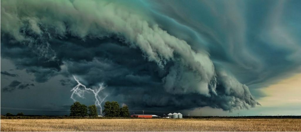
- United States: Strong winter storms, landslides, and floods on the Pacific coast and the southwest
- India: Delay of the vital monsoon season
- Australia and Southeast Asia: Droughts and wildfires
- Atlantic Ocean and Caribbean: Less hurricane development during summer and fall
During the winter months, El Niño can displace the jet stream over the northern Pacific Ocean.
Michelle L’Heureux, head of the El Niño-Southern Oscillation team at NOAA’s Climate Prediction Center, explained to The New York Times that this can lead to a wetter winter in the southern United States.
Northern states would experience drier conditions. However, L’Heureux clarified that the next winter in North America is still “very far away.” They expect these details to adjust in the coming months.
Xie noted that instruments have already detected a warming trend in the equatorial Pacific since January. “The warm layer of the surface is getting thicker,” he stated.
In 2025, the heat content of the entire upper ocean layer reached a record level for the fifth consecutive year.
The ocean heat content is an important indicator of climate change, as the oceans store 90 percent of the planet’s excess heat.