
An Arctic air wave advances over Central America and causes a historic drop in temperatures from southern Mexico to Costa Rica.
The unusual cold impacts millions and leaves extreme records in mountainous areas unaccustomed to such low values.
The phenomenon originates from an intense polar mass initially settled over the United States, where last week it caused extreme temperatures and strong winter storms in various states, with at least 50 deaths.
Now, due to a system of high pressures, this Arctic wave is being moved towards Central America, with icy air towards the isthmus.
Official forecasts maintain the weather alert between February 2 and 4. Additionally, trends anticipate a new cold incursion in the coming days.
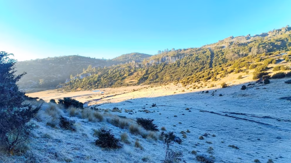
This climatic episode especially affects Guatemala, Honduras, and El Salvador. In several places, values close to 0°C at altitude are recorded, unprecedented for the area.

The Arctic air wave keeps Central America under extreme temperatures
Guatemala is experiencing one of the coldest days of the year. The National Institute of Seismology, Volcanology, Meteorology, and Hydrology (INSIVUMEH) confirmed the entry of cold front number 11.
According to the agency, the combination with a high-pressure system accentuates the thermal drop. In Quetzaltenango, for example, thermometers dropped to -2°C with frosts.
INSIVUMEH noted that in Guatemala City, a minimum of 7.2°C historic is observed, intensified by wind and wind chill.
The Arctic air wave impacts Central America mainly during the night. The early mornings are the coldest, with unusual conditions.
Cold records in Honduras and El Salvador
In Honduras, Tegucigalpa faces one of its coldest mornings in decades. The National Center for Atmospheric, Oceanographic, and Seismic Studies reports 9°C as a minimum.
Although the historical records of the 60s and 70s are between 4°C and 5°C, the current record drops significantly compared to the 10°C of 2023.
In western Honduras, areas like El Portillo, Ocotepeque, experience barely 10°C persistent. Rural communities resort to artisanal heating systems.
In Intibucá, the situation is shaping up to be the most extreme at the beginning of February. Forecasts indicate values that could reach 6°C extreme.
El Salvador also reaches historical figures. The Ministry of Environment and Natural Resources (MARN) reports record temperatures in the west on February 2.
In Finca Los Andes, Santa Ana, the thermometer drops to 3.5°C record, surpassing the 1988 record. In Montecristo, 4.2°C unusual are reported.
The Arctic air wave reaching Central America highlights the regional vulnerability to polar incursions, with effects on health and mountain communities.
What could happen in the coming days
Meteorological services warn that the cold may persist. Trends anticipate a new cold front for Friday the 6th, with persistence until Sunday the 8th.
Among the main effects of the event are highlighted:
- Sharp nocturnal drops in high areas
- Frosts in mountainous regions
- Thermal records in Central American capitals
- Greater risk for sensitive crops
- Need for preventive measures in rural communities
The Arctic air wave over Central America represents an exceptional episode within an increasingly variable climatic context. Authorities recommend following official reports and taking extreme care.