
For years, satellites dominated agricultural monitoring in Latin America. However, today drones are beginning to displace them as a precision tool in the field.
The change is significant. Over the last decade, many agricultural operators invested millions in subscriptions to satellite constellations, convinced that data from space was the key to improving their crops.
However, that model showed cracks. High-precision satellite images arrive with delays, sometimes cloudy or with insufficient resolution, just when the producer most needs to make decisions.
This is highlighted in a recent analysis by specialist Javier A. Carranza Torres published in Ámbito Financiero.
Carranza Torres described this situation as a “Glass Dome”: surpassing the limit of 15 to 30 centimeters of resolution from space requires exponential investment, while the concrete benefit for the producer flattens out.
The keys to using drones in the field
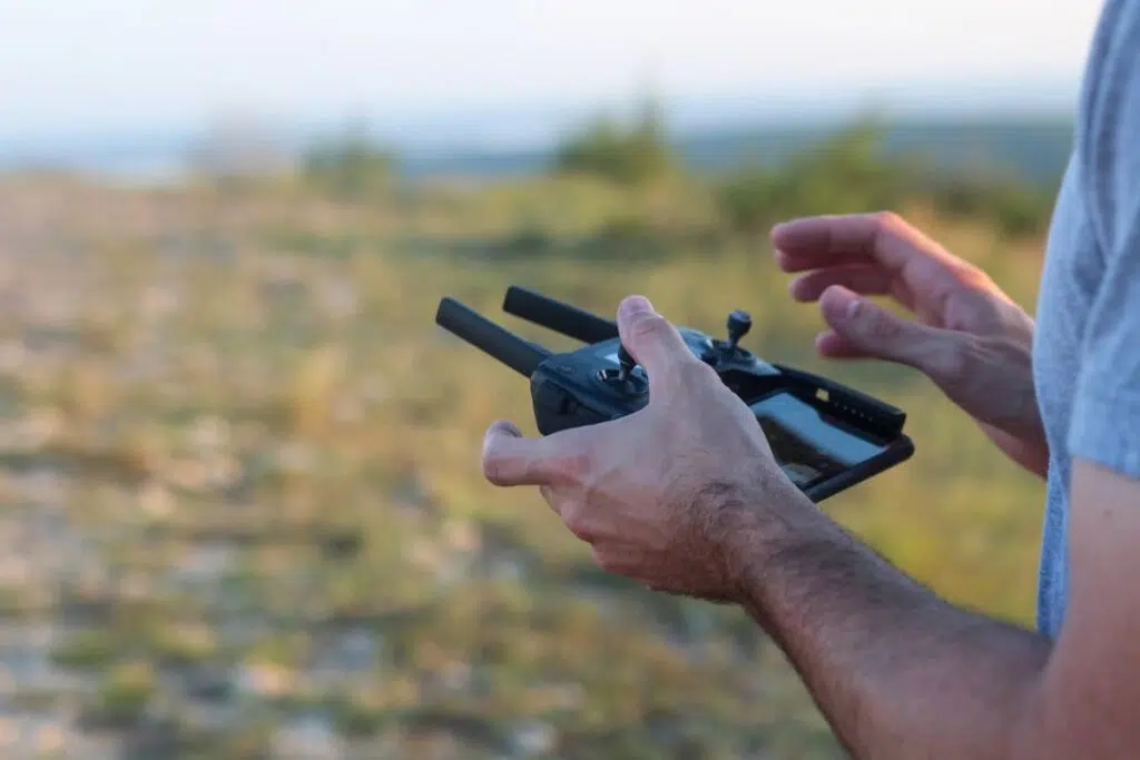
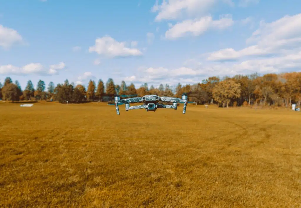
In this scenario, drones in the field offer a concrete alternative. Equipped with multispectral sensors, they fly below the clouds and achieve a resolution of 2 centimeters per pixel, far superior to satellite.
Their operational cost is also advantageous. According to the analysis, operating a drone can cost less than two dollars per hectare, compared to the high price of premium satellite images.
Added to this is the speed of processing. Thanks to edge artificial intelligence —Edge AI—, drones analyze data during the flight and deliver ready-to-use maps upon landing.
Concrete cases illustrate the difference. In the sugarcane harvest in Tucumán or the monitoring of soybeans in Mato Grosso, where the satellite takes days to deliver usable information, the drone resolves it in hours.
Regulatory obstacles and adoption strategy
Even so, the adoption of drones in the field is not without obstacles. In Latin America, regulatory frameworks like those of ANAC and DECEA still treat two-kilogram equipment with regulations typical of commercial aviation.
This bureaucratic friction slows down the transition, although the pressure for profitability is beginning to force a modernization of these processes, according to the specialist.
In this context, Carranza Torres proposes a staggered strategy for companies in the sector:
- Maintain the satellite for regional monitoring and large-scale index generation.
- Reallocate resources towards field sensors and training for local analysis.
- Evaluate the return on investment: if drones reduce 20% of agrochemical use, the equation favors their adoption.
In this framework, sovereignty over one’s own agricultural data emerges as a key competitive advantage. Whoever controls the land information controls the production decision.
For Carranza Torres, the future of agricultural monitoring will not be orbital, but a capillary network of intelligent sensors that, with their feet on the ground, generate the real precision that the field needs.